31 Best Hikes in Arizona — My Personal Favorites (2026 Guide)

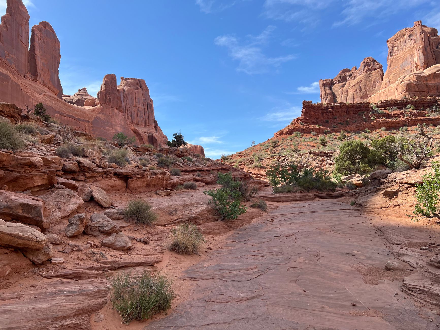
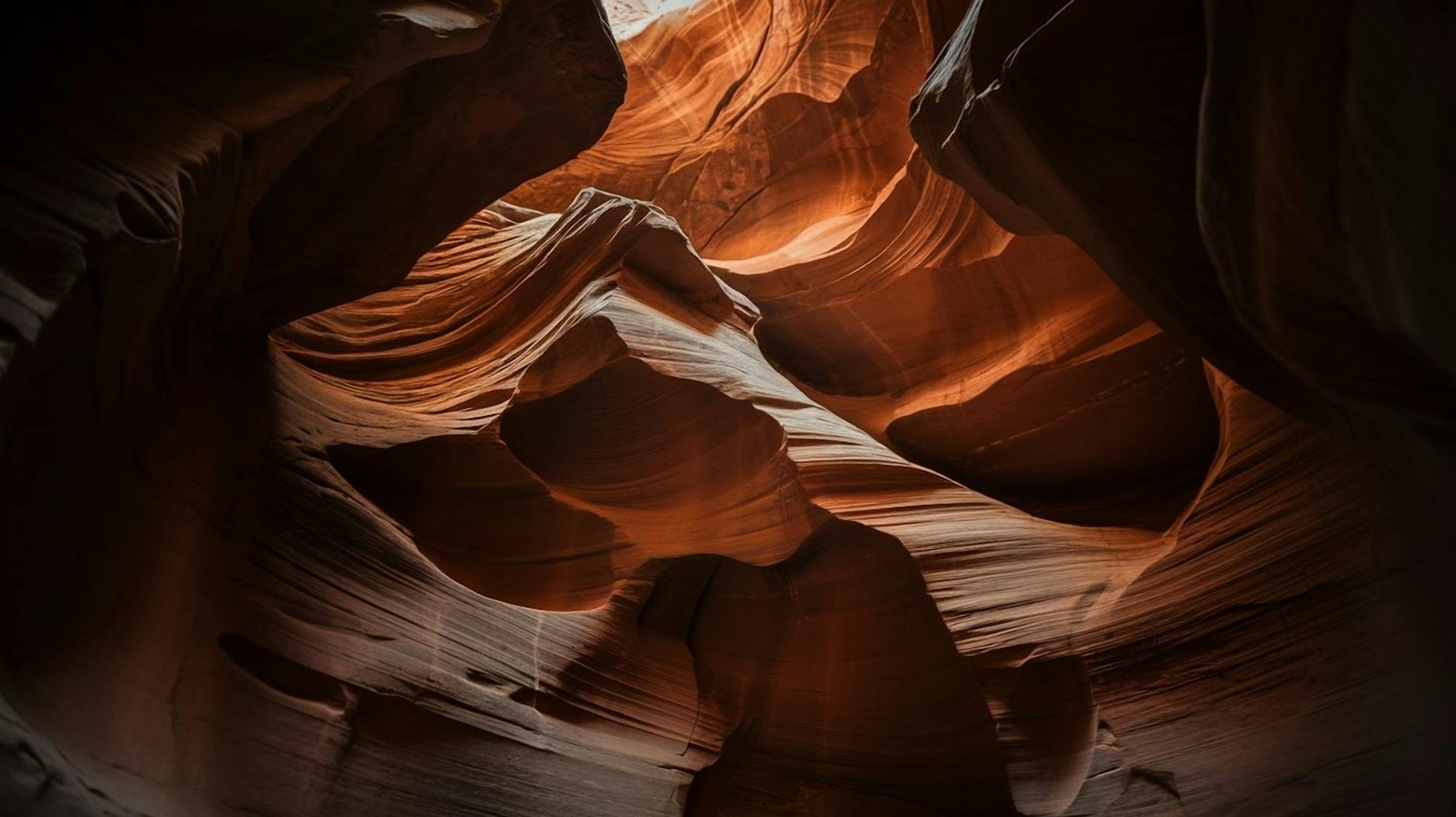
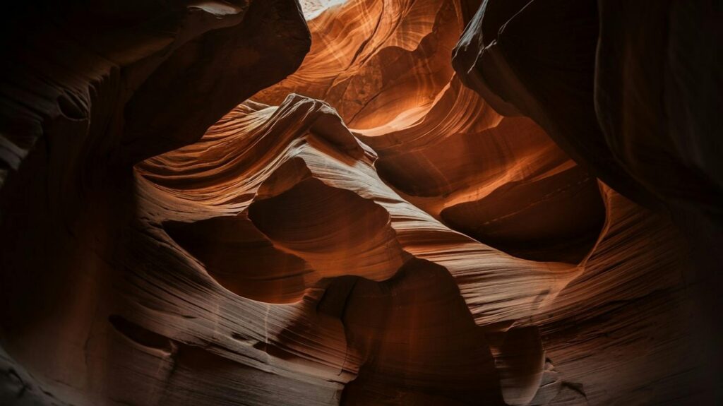
Arizona hiking is something special. You have those red rock cathedrals around Sedona that look like they belong in paintings, the endless layers of the Grand Canyon that make you feel tiny, slot canyons so narrow you have to turn sideways, and saguaro forests near Phoenix that scream classic desert. I’ve done most of these trails over the years, some multiple times, and this list is what I’d tell a friend looking to explore the state.

Forget the generic top-10 lists. Here’s 31 trails worth your time, broken down by area with real details — parking headaches, best times to beat crowds, what makes each one special. Whether you’re chasing Instagram shots or just want a solid morning hike, something here will work.

Sedona — Where Everyone Wants to Hike

Sedona dominates Arizona trail talk for good reason. The red rocks glow at sunrise, “vortex” energy spots draw spiritual crowds, and every other bend gives you a postcard view. Problem is, everyone knows it — parking lots fill by 8 AM.

Devils Bridge (4 miles round trip, moderate)
That natural rock arch you see on every Arizona post? This is it. Park at the Mescal trailhead (Red Rock Pass required), hike through scrub oak, then scramble up to the bridge. Sunrise beats the influencers, but go midweek if you can. Views stretch across Dry Creek Valley — worth every step.

Cathedral Rock (1.2 miles, moderate scramble)
Steep climb, no real trail in spots — you’re grabbing rocks and hoping for good tread. Summit gives 360° red rock views plus “vortex” energy if that’s your thing. Wear good shoes; the final pitch is exposed.

West Fork Trail (6 miles one-way, easy)
Shaded creek walk through a slot canyon with towering walls. Fall brings yellow cottonwoods that make it magical. $11 entrance fee, but worth it. Turn around at the third crossing unless you’re up for wading.

Airport Mesa (3.2 mile loop, easy)
Quick loop with 360° views over Sedona’s red rock skyline. Sunset turns everything gold. Free parking if you beat the tour buses.

Grand Canyon — Don’t Skip the Rim

Everyone pictures rim-to-rim epics, but smart hikers stick to shorter sections. Heat, exposure, and sheer scale make the full canyon a different beast.

Bright Angel Trail to Plateau Point (12 miles round trip, strenuous)
Classic South Rim descent with water stations every mile or so. Plateau Point overlooks the Colorado River 3000 feet below — the kind of view that stops you cold. Start at dawn; mules kick up dust.

South Kaibab to Ooh-Aah Point (3 miles round trip, steep)
Quicker, quieter alternative to Bright Angel. “Ooh-Aah” lives up to the name — vast canyon layers unfolding below. No water on trail; carry plenty.

Rim Trail (easy paved sections)
Walk between viewpoints on flat path. Wheelchair accessible in spots, shuttle stops everywhere. Perfect for non-hikers who still want canyon magic.

Check availability

Phoenix — City Hikes That Punch Above Weight

Phoenix metro gives you legit desert mountains minutes from freeways. Summer means 4 AM starts, but winter mornings are perfect.

Camelback Mountain (Echo Canyon) (2.5 miles round trip, strenuous)
Hand-over-hand scrambling on exposed rock. Summit overlooks sprawling Phoenix — feels like a different world. Parking free if you arrive by 6 AM. Closed in extreme heat.

Piestewa Peak (2.4 miles round trip, strenuous)
Steep but shaded in spots. City lights sparkle from the top at night (legal after dark). Less crowded than Camelback.

South Mountain (multiple loops, moderate)
Ancient petroglyphs, desert wildflowers after rain, 10,000 acres of trails. Hidden Valley Loop shows city lights without the summit grind.

Tucson — Saguaro Forests + Waterfalls

Cooler than Phoenix, higher elevation, seasonal waterfalls. Sabino Canyon shuttle makes logistics easy.

Seven Falls (8 miles round trip, moderate)
Post-monsoon waterfall swims in a palm-lined canyon. Sabino shuttle drops you close ($8 round trip). Muddy after storms — wear shoes you don’t mind ruining.

Wasson Peak (7 miles round trip, moderate)
Highest point in Saguaro West. 200-year-old saguaros line the trail. Quiet compared to Phoenix peaks.

Flagstaff — Alpine Escape

Cool temps even in summer, golden aspens every fall.

Humphreys Peak (10 miles round trip, strenuous)
Arizona’s roof at 12,633 feet. Exposed ridge walk above treeline. Summer only — snow year-round above 11,000.

Lockett Meadow (4 mile loop, moderate)
Aspen groves turn the meadow gold in October. Rough dirt road access. Quiet alternative to crowded summits.

Quick Reference Table

TrailAreaMilesDifficultyBest SeasonParking Notes
Devils BridgeSedona4ModerateSpring/FallRed Rock Pass
Cathedral RockSedona1.2ScrambleAnytimeLimited
CamelbackPhoenix2.5StrenuousWinterFree 6AM
Seven FallsTucson8ModerateMonsoonShuttle $8

When to Go + Don’t-Die Tips

Spring (Mar-May) and Fall (Sep-Nov) — perfect temps everywhere.
Summer low desert — hike 4-7 AM only. 1 gallon water/person minimum.
Monsoon season (Jul-Aug) — waterfalls but flash flood risk. Check weather.

Gear: Trekking poles, sun hoodie, offline maps, headlamp for slot canyons. Download AllTrails Pro.

FAQ (Real Questions I Get)

Easiest Arizona hike? Airport Mesa Loop or Grand Canyon Rim Trail.
Sedona parking? Red Rock Pass ($5/day) at trailheads. Go midweek.
Grand Canyon day hike safe? Yes to Ooh-Aah Point. No deeper without experience.
Summer hiking realistic? Flagstaff or Mount Lemmon. Low desert = dawn only.

This is how Arizona trails actually work — crowds, parking fights, seasonal tricks, and rewards that make it worth the planning. Pick one, go early, carry water. You’ll be back.

Leave a Comment

Your email address will not be published. Required fields are marked *

Scroll to Top