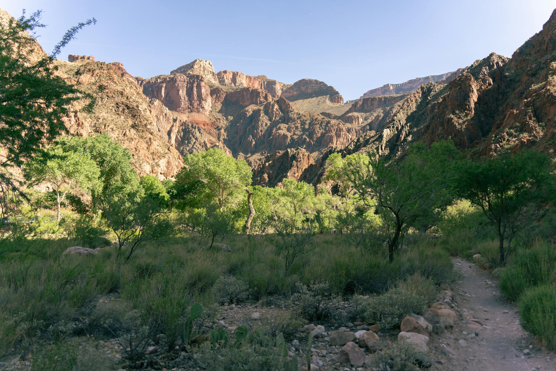
8 Best Day Hikes in the Grand Canyon (South Rim)
🌍 Plan & Book Your Trip
Compare the best deals for this destination — flights, hotels, tours and more:
Affiliate links — we may earn a commission at no extra cost to you.
Bright Angel Trail switchbacks — the gateway to the Grand Canyon’s inner world.
Standing at the rim of the Grand Canyon, your brain can’t quite process what it’s seeing. A mile deep. Ten miles wide. Layers of rock that took two billion years to stack up. And then you realize — you can actually walk down into it. That’s when the magic happens. Finding the best day hikes Grand Canyon has to offer became my obsession after my first visit, and I’ve been back four times since to test every major trail on the South Rim.
Here’s the thing: about 90% of Grand Canyon visitors go to the South Rim. It’s more accessible, has better infrastructure, and honestly? It has the best day hiking options. Whether you want to stroll along the rim with a coffee in hand or descend thousands of feet into the canyon’s belly, there’s a trail for you.
Key Takeaways
- The South Rim offers the best day hiking variety — from flat rim walks to strenuous below-rim descents.
- Never attempt to hike to the river and back in one day. This is the #1 cause of rescue calls.
- The South Kaibab Trail gives the best views per mile; Bright Angel is longer but has water and shade.
- Summer heat kills — below-rim hikes should start before dawn from May through September.
- Rim Trail is perfect for beginners, families, and anyone who wants stunning views without the sweat.
Quick Facts
| Detail | Info |
|---|---|
| Park entrance fee | $35 per vehicle (7-day pass) |
| South Rim elevation | ~7,000 feet |
| Best months | March–May, September–November |
| Avoid | June–August for below-rim hikes (extreme heat) |
| Water stations | Bright Angel has seasonal water; South Kaibab has NONE |
| Shuttle required? | Yes for South Kaibab Trailhead (no private vehicles) |
| Permits needed? | Not for day hikes — only overnight below-rim camping |
| Cell service | Spotty at rim; none below rim |
Why the South Rim Is the Day Hiking Sweet Spot
Let me be straight with you: if you’re planning day hikes, the South Rim is where you want to be. The North Rim is gorgeous — I love it — but it’s harder to reach, open fewer months, and has fewer trail options for day hikers.
The South Rim gives you:
- Multiple trailheads accessible by free shuttle
- Varied difficulty levels from wheelchair-accessible to absolutely brutal
- Services nearby including lodges, restaurants, and gear shops
- Two iconic below-rim trails (Bright Angel and South Kaibab) that start right from the village area
The Critical Safety Rule: Don’t Hike to the River and Back
I’m putting this up front because the Grand Canyon rescues roughly 250+ people per year, and a significant number of those are hikers who tried to reach the Colorado River and come back in a single day.
The math doesn’t work. The river is about 4,700 feet below the South Rim. That’s nearly a vertical mile. Going down is deceptively easy — gravity does the work. Coming back up in desert heat, at altitude, with tired legs? That’s where people collapse.
Here’s the rule the park rangers drill into visitors: For every hour you spend hiking down, plan two to three hours to climb back up. If it took you 3 hours to reach Indian Garden, expect 6-9 hours to return.
Below-rim summer temperatures regularly exceed 110°F (43°C) at the bottom. People die here every year. I’m not saying this to scare you — I’m saying it because I want you to have an incredible day hike and drive home safely.
Safe day hike turnaround points:
- Bright Angel Trail → Indian Garden (9.2 miles round trip, full day)
- South Kaibab Trail → Skeleton Point (6 miles round trip, half day)
- Either trail → 1.5-Mile Resthouse or Cedar Ridge for shorter options
The 8 Best Day Hikes on the South Rim
1. Bright Angel Trail (to Indian Garden)
| Detail | Info |
|---|---|
| Distance | 9.2 miles round trip |
| Elevation change | 3,060 feet |
| Difficulty | Strenuous |
| Time | 6–9 hours |
| Trailhead | West side of Bright Angel Lodge |
The experience: You’ll descend through a series of switchbacks called “Jacob’s Ladder,” pass through two resthouses (1.5-Mile and 3-Mile), and eventually reach Indian Garden — a shady oasis with cottonwood trees, picnic tables, and year-round water.
Who it’s for: Strong hikers who want the full below-rim experience without the danger of going to the river. Indian Garden is the deepest safe turnaround for a day hike.
My tip: Start at first light, especially April through October. I’ve hiked this trail twice — once starting at 5 AM (perfect) and once starting at 8 AM in September (miserable on the way back up). The morning start makes all the difference.
Shorter options:
- 1.5-Mile Resthouse (3 miles RT, 1,131 ft elevation change) — great intro to below-rim hiking
- 3-Mile Resthouse (6 miles RT, 2,112 ft elevation change) — moderate challenge with excellent views
2. South Kaibab Trail (to Skeleton Point)
| Detail | Info |
|---|---|
| Distance | 6 miles round trip |
| Elevation change | 2,040 feet |
| Difficulty | Strenuous |
| Time | 4–6 hours |
| Trailhead | South Kaibab Trailhead (shuttle only) |
The experience: You’ll hit Ooh Aah Point (the name says it all) within the first mile, reach Cedar Ridge at 1.5 miles, then continue to Skeleton Point where you can actually see the Colorado River far below.
Who it’s for: Hikers who want the most dramatic scenery per mile of effort. Photographers go wild on this trail.
The catch: There is NO water and NO shade on South Kaibab. Zero. It’s completely exposed ridge walking. This makes it dangerous in summer heat and means you must carry all your water.
My tip: Take the first Hikers’ Express shuttle (usually 4-5 AM in summer). Do South Kaibab early, and if you still have energy, walk back up Bright Angel for water and shade. This “rim-to-rim” combo (South Kaibab down, Bright Angel up) is the classic strategy — but it’s a very long day.
Shorter option:
- Cedar Ridge (3 miles RT, 1,140 ft elevation change) — wide flat area with composting toilet, excellent views, and a satisfying stopping point
3. Rim Trail (South Rim)
| Detail | Info |
|---|---|
| Distance | Up to 13 miles one-way (do any section) |
| Elevation change | Minimal (~200 feet total) |
| Difficulty | Easy |
| Time | 1–5 hours depending on section |
| Trailhead | Multiple access points along the rim |
The experience: You’ll pass historic buildings, multiple lookout points (Mather Point, Yavapai Point, Hopi Point, Mohave Point, Pima Point, Hermits Rest), and get the classic Grand Canyon postcard views without descending a single foot.
Who it’s for: Everyone. Families with strollers, people with mobility limitations, photography enthusiasts who want every viewpoint, and hikers who want a rest day between below-rim adventures.
My tip: The section from Mohave Point to Hermits Rest (about 5 miles) is my favorite — less crowded, incredible sunset views, and you can catch the free Hermit Road shuttle back. Grab a hot chocolate at Hermits Rest (designed by architect Mary Colter in 1914) to cap off the walk.
4. Shoshone Point Trail
| Detail | Info |
|---|---|
| Distance | 2 miles round trip |
| Elevation change | Minimal (~50 feet) |
| Difficulty | Easy |
| Time | 45 minutes–1.5 hours |
| Trailhead | Unmarked pullout on Desert View Drive (east of Grand Canyon Village) |
The experience: A flat, forested walk through ponderosa pines suddenly opens to a dramatic promontory jutting out over the canyon. There’s a picnic area (reservable for groups) and the most peaceful canyon views you’ll find on the South Rim.
Who it’s for: People who want solitude. Couples looking for a romantic spot. Photographers chasing unique angles without tourists in every frame.
My tip: Come for sunset. While everyone else jostles for position at Hopi Point or Mather Point, you’ll likely have Shoshone Point to yourself. The trailhead is an unmarked gravel pullout on the left side of Desert View Drive, about 1.2 miles east of the Yaki Point turnoff.
5. Hermit Trail (to Santa Maria Spring)
| Detail | Info |
|---|---|
| Distance | 5 miles round trip |
| Elevation change | 1,680 feet |
| Difficulty | Moderate to strenuous |
| Time | 4–6 hours |
| Trailhead | Hermits Rest (end of Hermit Road) |
The experience: Rocky, steep switchbacks descend through the Hermit Shale layer (it’s red and crumbly — watch your footing) to Santa Maria Spring, a tiny dripping spring with a stone rest shelter built by the Santa Fe Railroad over a century ago.
Who it’s for: Experienced hikers who want to escape the crowds. You’ll see maybe 10% of the foot traffic compared to Bright Angel.
My tip: The trail surface is loose rock and cobbles — trekking poles are almost essential here. Also, the first mile is the steepest and most technical. If you can handle that section, the rest is manageable.
6. South Kaibab to Cedar Ridge (Family-Friendly Below-Rim Option)
| Detail | Info |
|---|---|
| Distance | 3 miles round trip |
| Elevation change | 1,140 feet |
| Difficulty | Moderate |
| Time | 2–4 hours |
| Trailhead | South Kaibab Trailhead (shuttle only) |
The experience: You’ll pass Ooh Aah Point (mandatory photo stop) and arrive at Cedar Ridge — a broad, flat mesa with composting toilets and open views in every direction. Mule trains pass through here, so you’ll likely see some four-legged traffic too.
Who it’s for: Families with older kids, first-time Grand Canyon visitors who want to go below the rim without committing to a full day, and anyone who wants that “I hiked INTO the Grand Canyon” bragging right.
My tip: Watch for mule trains — they have the right of way. Step to the inside of the trail and let them pass. Also, the ridge itself is a great snack spot with natural rock “benches.”
7. Grandview Trail (to Horseshoe Mesa)
| Detail | Info |
|---|---|
| Distance | 6.4 miles round trip |
| Elevation change | 2,600 feet |
| Difficulty | Strenuous |
| Time | 5–7 hours |
| Trailhead | Grandview Point (Desert View Drive) |
The experience: A steep, rocky descent on a unmaintained trail leads to Horseshoe Mesa, a flat-topped peninsula surrounded by canyon on three sides. You can explore old mine ruins (don’t enter the shafts — they’re unstable) and stand on the edge of a 1,000-foot cliff with nobody around.
Who it’s for: Strong, experienced hikers who want solitude and history. This trail is steeper and rougher than Bright Angel or South Kaibab.
My tip: The first and last 0.5 miles are the steepest — narrow with loose cobblestones. Going down is tricky; coming up is exhausting. But Horseshoe Mesa itself is magical. I sat there for 45 minutes eating lunch with zero other humans in sight.
8. Desert View Trail & Watchtower Walk
| Detail | Info |
|---|---|
| Distance | Variable — 1–3 miles of connected paths |
| Elevation change | Minimal |
| Difficulty | Easy |
| Time | 1–2 hours |
| Trailhead | Desert View area (east end of South Rim) |
The experience: Wander between viewpoints, climb the 70-foot Desert View Watchtower for panoramic views, and enjoy a section of the Grand Canyon that feels different from the village area — wider, more open, with the Colorado River visible below.
Who it’s for: History buffs, architecture lovers, families, and anyone driving Desert View Drive who wants to stretch their legs with canyon views.
My tip: This is a great first-morning or last-afternoon stop. The watchtower interior features murals by Hopi artist Fred Kabotie, and the observation deck gives you one of the most unique angles of the canyon. Pair it with a picnic at the nearby campground area.
Trail Comparison: Which Hike Should You Choose?
| Trail | Distance (RT) | Elevation | Difficulty | Crowds | Views | Best For |
|---|---|---|---|---|---|---|
| Bright Angel (Indian Garden) | 9.2 mi | 3,060 ft | Strenuous | High | ★★★★☆ | Full below-rim day hike |
| South Kaibab (Skeleton Point) | 6 mi | 2,040 ft | Strenuous | Moderate | ★★★★★ | Best panoramic views |
| Rim Trail | Up to 13 mi | ~200 ft | Easy | High | ★★★★☆ | Everyone, any fitness level |
| Shoshone Point | 2 mi | ~50 ft | Easy | Very Low | ★★★★☆ | Solitude seekers |
| Hermit Trail (Santa Maria) | 5 mi | 1,680 ft | Mod-Stren | Low | ★★★★☆ | Crowd-free below-rim |
| Cedar Ridge (S. Kaibab) | 3 mi | 1,140 ft | Moderate | Moderate | ★★★★★ | Families, first below-rim |
| Grandview (Horseshoe Mesa) | 6.4 mi | 2,600 ft | Strenuous | Low | ★★★★☆ | Experienced hikers |
| Desert View & Watchtower | 1–3 mi | Minimal | Easy | Moderate | ★★★☆☆ | History + casual walk |
When to Hike: Seasonal Timing Guide
The Grand Canyon’s elevation creates a unique situation. The rim sits at 7,000 feet (cool, even cold). The inner canyon sits at 2,400 feet (blistering desert). Same day, same park, wildly different conditions.
Spring (March–May): The sweet spot. Rim temperatures are comfortable (50s–70s°F), inner canyon isn’t yet deadly hot, and wildflowers bloom along the rim. This is when I prefer to do below-rim hikes.
Summer (June–August): Rim is pleasant (70s–80s°F), but inner canyon regularly exceeds 110°F. If you hike below the rim in summer, start before 5 AM and be back to the rim by 10 AM. Afternoon thunderstorms are common.
Fall (September–November): My favorite season. Crowds thin, temperatures cool, and the golden light on the canyon walls is extraordinary. October is perfect for below-rim hikes.
Winter (December–February): The rim gets snow. Trails can be icy at the top (crampons/microspikes recommended). Inner canyon is actually the best temperature for hiking. Fewer visitors means you’ll have trails nearly to yourself — but come prepared for cold mornings.
What to Bring: Day Hike Essentials
Here’s my packing list for a below-rim Grand Canyon day hike:
- Water: Minimum 1 liter per hour of hiking in summer. I carry 3 liters for a half-day hike.
- Salty snacks: The Canyon drains your electrolytes. Trail mix, pretzels, jerky.
- Sun protection: Hat, sunglasses, sunscreen, long sleeves. There’s little shade below the rim.
- Trekking poles: Especially for steep trails like Hermit and Grandview. See our trekking pole review for recommendations.
- Headlamp: If you’re starting before dawn (and you should in summer).
- First aid kit: Blisters happen on long descents.
- Layers: The rim can be 30°F colder than the inner canyon. Start bundled, strip down as you descend.
A Quick Reflection
I’ll never forget my first Grand Canyon hike. I was 24, thought I was in great shape from gym workouts, and decided to hike to Plateau Point (12.4 miles round trip, 3,200 feet of elevation change). In June.
I started at 7 AM — already too late. By the time I reached Indian Garden, I’d gone through half my water. The temperature below the rim was pushing 105°F. I made it to Plateau Point, saw the river, and felt a rush of accomplishment — immediately followed by the crushing realization that I had to climb 3,200 feet back up in the heat.
The return hike took me six hours. I ran out of water at 3-Mile Resthouse, where a kind stranger shared their supply. I stumbled back to the rim at 5 PM, sunburned, dehydrated, and humbled.
Now I know better. I start at 4:30 AM. I carry twice the water I think I need. I pick my turnaround point before I start hiking and stick to it no matter how good I feel going down. The Grand Canyon teaches you respect — sometimes the hard way. Don’t learn it the way I did.
Frequently Asked Questions
Can you hike to the bottom of the Grand Canyon and back in one day?
Technically possible for extremely fit, experienced hikers in cooler months — but the National Park Service strongly advises against it. It’s a 17-21 mile round trip with 4,700+ feet of elevation change each way. The vast majority of hikers who attempt this end up needing rescue. Safe day hike turnarounds include Indian Garden (Bright Angel) and Skeleton Point (South Kaibab).
Do you need a permit to day hike in the Grand Canyon?
No. Day hiking on all Grand Canyon trails requires no permit — just a park entrance fee ($35/vehicle for 7 days). Permits are only required for overnight camping below the rim or in certain backcountry areas.
Which is better for beginners: Bright Angel or South Kaibab?
Bright Angel is generally better for beginners because it has water stations (seasonal), some shade from canyon walls, and more bail-out options at 1.5-Mile and 3-Mile Resthouses. South Kaibab has better views but zero water, zero shade, and fewer places to rest. That said, the Cedar Ridge section of South Kaibab (3 miles round trip) is a perfect beginner option.
How do I avoid crowds on Grand Canyon trails?
Start before 7 AM (most tour groups arrive between 9-11 AM), hike on weekdays, choose less popular trails like Hermit or Grandview, or visit in shoulder seasons (March-April, October-November). The Rim Trail gets less crowded the farther west you go from Grand Canyon Village.
Before you hike below the rim, check conditions and warnings on the official Grand Canyon National Park site.
Final Thoughts
The Grand Canyon isn’t just a place you look at — it’s a place you experience on foot. Whether you stroll the Rim Trail at sunset or grind your way to Horseshoe Mesa, every trail on the South Rim shows you a different face of this incredible landscape.
Start with what matches your fitness level. Respect the heat. Carry more water than you think you need. And whatever you do, resist the urge to “just keep going a little farther” on the way down — because every step down is a step you have to climb back up.
I’ve hiked a lot of places in this country, but the Grand Canyon keeps pulling me back. Once you step below that rim, you’ll understand why.
Ready to plan your trip? Use our free Trip Planner to build your Grand Canyon itinerary.
More Grand Canyon & Southwest reading:
- Canyonlands vs Grand Canyon: Which Is Better?
- Best Hikes Near Las Vegas (Including Grand Canyon Day Trips)
- Utah Mighty 5 Road Trip: 7-Day Itinerary
- Best Budget Hiking Gear Under $50
- Best Trekking Poles for Hiking in 2026
✈️ Planning your trip?
Compare cheap flights, hotels and car rentals for your adventure.
Find Cheap Flights →Compare Hotels →🌍 Plan & Book Your Trip
Compare the best deals for this destination — flights, hotels, tours and more:
Affiliate links — we may earn a commission at no extra cost to you.


